Earth Observation:
Data, Processing and Applications
This series of publications describes Earth Observation (EO) data, processing and applications in an Australian context and includes a wide range of local case studies to demonstrate Australia’s increasing usage of EO data. These electronic texts substantially update previous books published by CSIRO and MPA (Harrison and Jupp, 1989, 1990, 1992, 1993), which were written to support users of the microBRIAN Image Processing system and used as tertiary texts throughout Australasia for over a decade.
Earth Observation: Data, Processing and Applications comprises three volumes which aim to:
- Consolidate EO teaching resources in Australia;
- Encourage a greater number of tertiary courses involving EO in Australia; and
- Promulgate Australia’s growing dependence on EO data.
Since the release of the first sub-volume by CRCSI in 2016, these publications have been updated periodically. The most recent revisions can be freely downloaded below. Readers are invited to email any comments, corrections or potential updates to EO Publications. The next revision of Volume 1 is planned for release in 2026.
Volume 1: Data
Volume 1 outlines the basics of EO in terms of energy sources, data acquisition, sampling characteristics, and image availability. Discussion focuses on the scientific foundations of EO. This volume also considers the interactions of electromagnetic radiation with various targets and media, as relevant to understanding optical, thermal, passive microwave and radar imagery.
Volume 1 comprises three sub-volumes:
 |
Volume 1Complete Volume 1 (Introductory Pages+1A+1B+1X)
Latest Revision: October 2025 |
||||
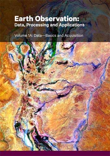 |
Volume 1A—Basics and AcquisitionIntroduces the scientific foundations of EO and describes the basics of data acquisition in terms of energy sources, platforms and sensors
Latest Revision: October 2025 |
||||
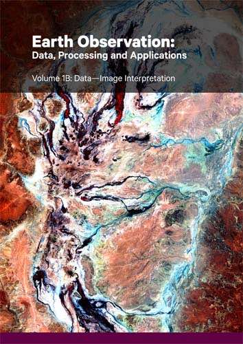 |
Volume 1B—Image InterpretationDetails image characteristics, EMR interactions, and image interpretation and usage
Latest Revision: October 2025 |
||||
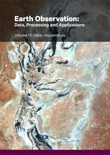 |
Volume 1X—AppendicesCollates relevant data sources and provide further information on photographic products and reflectance measurement
Latest Revision: October 2025 |
Volume 2: Processing
Volume 2 describes various processing options involved with image representation, analysis, transformation, integration, classification and modelling, including details of relevant algorithms, with emphasis on their underlying mathematical and statistical principles.
Volume 2 comprises six sub-volumes:
- 2A—Basic Image Operations
- 2B—Image Rectification
- 2C—Image Transformations
- 2D—Image Integration
- 2E—Image Classification
- 2X—Appendices
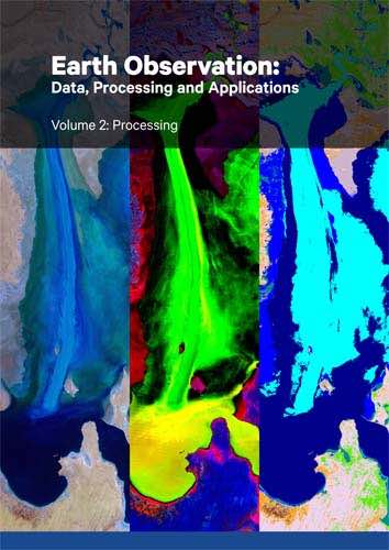 |
Volume 2Complete Volume 2 (Introductory Pages+2A+2B+2C+2D+2X)
Latest Revision: October 2025 |
||||
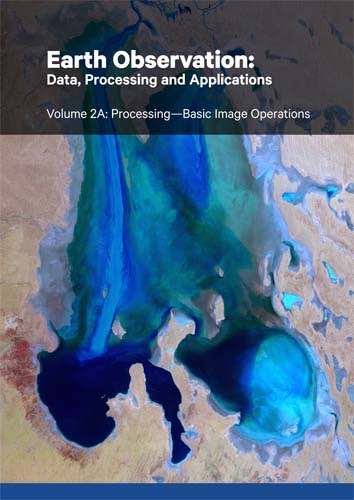 |
Volume 2A—Basic Image OperationsIntroduces EO image formats and details basic processing operations
Latest Revision: October 2025 |
||||
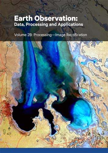 |
Volume 2B—Image RectificationDescribes concepts and processes for correcting EO image geometry
Latest Revision: October 2025 |
||||
 |
Volume 2C—Image TransformationsDetails a range of image transformations commonly used with EO imagery
Latest Revision: October 2025 |
||||
 |
Volume 2D—Image IntegrationConsiders methods that integrate EO imagery with other spatial datasets
Latest Revision: October 2025 |
||||
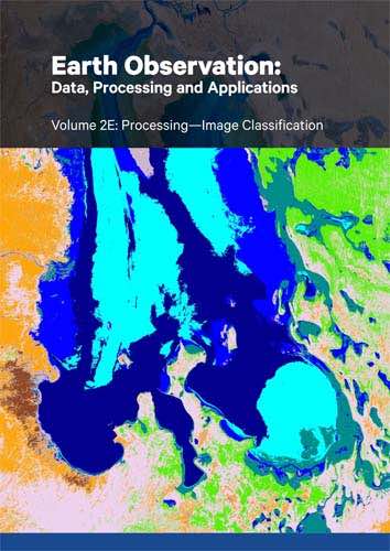 |
Volume 2E—Image ClassificationProvides extensive background information for classifying EO images Available 2026 |
||||
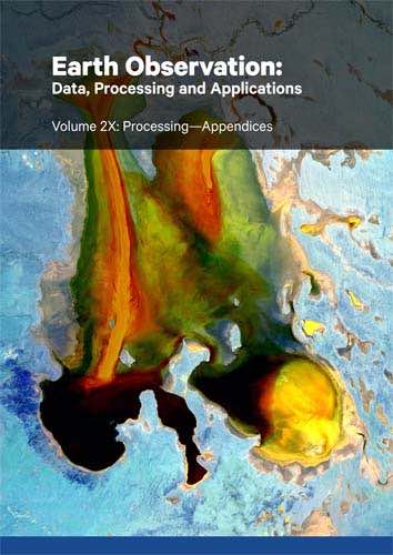 |
Volume 2X—AppendicesDetails underlying mathematics for a range of models relevant to EO image processing
Latest Revision: October 2025 |
Volume 3: Applications
Volume 3 introduces the Australian terrestrial and aquatic environments, and covers a broad range of application areas reliant on EO data. Specific case studies are included to demonstrate individual applications.
Volume 3 currently comprises two sub-volumes:
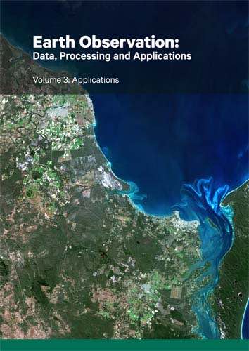 |
Volume 3Complete Volume 3 (Introductory Pages+3A+3B)
Latest Revision: October 2025 |
||||
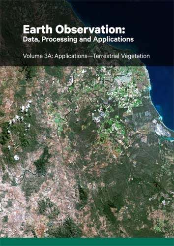 |
Volume 3A—Terrestrial VegetationDetails the use of EO methods to map, monitor and model vegetation growing on land
Latest Revision: October 2025 |
||||
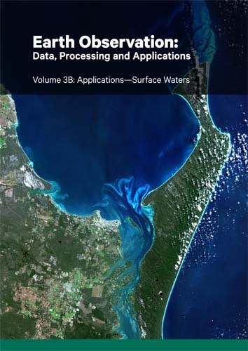 |
Volume 3B—Surface WatersIntroduces EO principles and methods for understanding and monitoring our surface water resources
Latest Revision: October 2025 |
Development of these publications was sponsored by:
- Cooperative Research Centre for Spatial Information (CRCSI)
- Commonwealth Scientific and Industrial Research Organisation (CSIRO)
- Geoscience Australia (GA)
- Bushfire and Natural Hazards Cooperative Research Centre (BNHCRC)
- FrontierSI